Fanatycy łowienia karpi ciągle szukają atrakcyjnych akwenów. Większość z nich wyrusza w nieznane dopiero wtedy, gdy uda im się „namierzyć” nowe łowisko w rozmowach ze znajomymi wędkarzami lub przygodnie spotkanymi nad wodą kolegami.
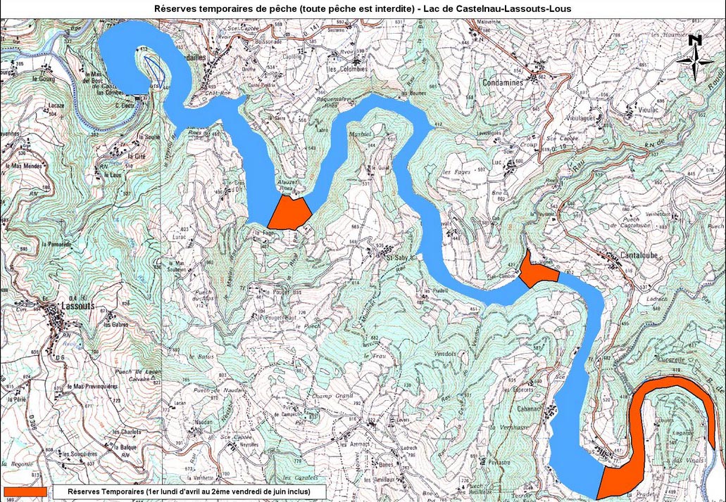
Wielu wędkarzy używa map tylko po to, aby dojechać nad wybrane łowisko. Najwyższa pora to zmienić. Analizując mapę możemy bowiem w miarę dokładnie poznać przyszłe łowisko dużych karpi i to zanim jeszcze wyruszymy w nieznane! Oczywiście nie wszystkie mapy nadają się do tego celu. Duże mapy poglądowe, przykładowo mapa Francji w skali 1:600 000, dostarczają tylko bardzo ogólnych informacji o tym, gdzie płyną rzeki oraz znajdują się największe jeziora. Z mapy samochodowej w skali 1:200 000 dowiemy się już znacznie więcej szczegółów. Pełnej i szczegółowej analizy nieznanego łowiska możemy dokonać jednak dopiero z mapy o skali 1:25 000. Jakie informacje wyczytane z mapy mogą okazać się przydatne dla wędkarza nastawiającego się na łowienie karpi? Najbardziej interesująca jest oczywiście głębokość nowego łowiska. Na niektórych mapach jest ona nawet zaznaczona, chociaż w większości przypadków brakuje tej informacji. Ale nawet wtedy wędkarz jest w stanie w miarę dokładnie oszacować głębokość danego akwenu. Wystarczy tylko dokładnie przyjrzeć się poziomicom (liniom łączącym punkty o tej samej wysokości nad poziomem morza) otaczającym dany akwen. Tak się bowiem składa, że akurat w jeziorach zaporowych ukształtowanie powierzchni brzegu wygląda tak samo (lub bardzo podobnie) jak pod wodą. Co to oznacza, postaram się wyjaśnić na przykładzie jeziora zaporowego Lac de Castelnau, słynnego łowiska karpi we francuskim Masywie Centralnym. Głębokość łowiska można łatwo obliczyć. Rozlewisko jeziora (tam gdzie kończy się cofka rzeki) zaczyna się w miejscu położonym na wysokości 412 metrów nad poziomem morza. Podstawa muru zapory trzymającej jezioro znajduje się na wysokości tylko 373 metrów.
Różnica wysokości wynosząca około 39 metrów jest więc poszukiwaną głębokością maksymalną przy murze zapory! Ponieważ jezioro to charakteryzuje się zmiennym poziomem lustra wody nasze wyliczenia będą w miarę dokładne tylko przy maksymalnym spiętrzeniu wody.
 Łowiska
Dalsze nasze poszukiwania dotyczyć będą zlokalizowania dobrych łowisk. Do tego celu potrzebne nam będą nie tylko znajomość maksymalnej głębokości akwenu, lecz przede wszystkim wyobrażenie o ukształtowaniu powierzchni spadów schodzących do wody. Ponieważ na mapie nie ma zaznaczonych linii głębokości (tzw. izobat), jako punkt odniesienia muszą posłużyć nam poziomice stoków gór okalających jezioro. Różnica wysokości pomiędzy dwoma zaznaczonymi na mapie poziomicami wynosi dziesięć metrów. Im bliżej siebie układają się poziomice na stoku góry, tym zbocze jest bardziej strome. Wszystko jasne?
W przypadku naszego przykładowego jeziora najlepiej widać to w okolicach Lous. Na wschód od tej miejscowości zbocze góry wchodzi do wody bardzo stromo. Dalej na południe zaznaczone na mapie poziomice są bardziej od siebie oddalone. Stok góry jest więc o wiele łagodniejszy. Dowód: zbocze góry obniżyło się z wysokości 447 metrów do wysokości 412 metrów (wysokość nad poziomem morza linii brzegowej jeziora) na odcinku około 200 metrów. Różnica wysokości wynosi więc 35 metrów. Z drugiej strony teren obniża się 60 metrów na odcinku 125 metrów.Widać więc, że przy północnym i południowym brzegu spadki brzegowe są bardzo różne.
Płytki brzeg
Dalsze rozważania udowodnią, że przebiegu spadków brzegowych pod wodą możemy się domyślić na podstawie obserwacji ukształtowania powierzchni w bezpośrednim sąsiedztwie brzegu. Wyobraźmy sobie dolinę rzeki. Brzeg, na który napiera woda i ciągle go podmywa jest zawsze bardziej stromy od przeciwległego brzegu (wewnętrzny brzeg starego koryta), przy którym osadza się materiał niesiony przez wodę. Spójrzmy na mapę, na półwysep ciągnący się na wschód od Lous; przy północnym brzegu poziomice leżą bliżej siebie, niż przy brzegu południowym. Krótko mówiąc: brzeg jeziora Lac de Castelnau na wysokości Lous (wlew rzeki i początek misy jeziornej) jest stosunkowo płytki. Pas głębokiej wody ciągnie się w starym korycie rzeki, przy największym podmyciu, a więc przy dzisiejszym brzegu południowym.


